
Pend Oreille Scenic Byway
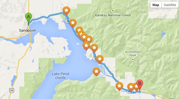
The Pend Oreille Scenic Byway offers travelers some of Idaho’s most spectacular water views. Beginning at the intersection with U.S. 95, Idaho 200 meanders eastward to the Montana state line across farmlands, through river deltas, and along the rocky northern shores of Lake Pend Oreille, all sculpted by the massive force of glaciers and the floodwaters of Glacial Lake Missoula. Pullouts along the byway allow visitors to stop and enjoy breathtaking vistas of mountainous horizons framing miles of open water.
Whether you are inclined to swim or fish, boat or golf, hunt or hike mountain trails, alpine ski or snowmobile, water ski or bird watch — each of the region’s distinctive four seasons offers an outstanding recreational opportunity for almost every person who enjoys the outdoors. Visitors can find varying accommodations from unimproved mountain campsites to maintained shoreline campgrounds to recreational vehicles parks along the water or choose from lakefront resorts or motels.
Details: Length: 33.4 miles, allow 1.5 hours
More information
Pend Oreille Scenic Byway (Visit Idaho)