
Wild Horse Trail Scenic Byway
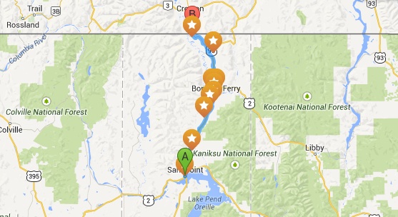
The Wild Horse Trail Scenic Byway, part of the International Selkirk Loop, starts on the northwestern shores of Lake Pend Oreille in Sandpoint. Heading north along the eastern side of the Selkirk Mountains the roadway follows the Kootenai Tribe’s historic path to fishing grounds at Lake Pend Oreille. In 1808 the first white explorer David Thompson also utilized this trail. The “Wild Horse Trail” became more than a path in 1863, when gold was discovered in “Wild Horse Creek,” 120 miles to the north of Bonners Ferry in British Columbia. There was a large movement of men and pack animals along the trail until the gold rush ceased around 1880. Upon arrival of the Northern Pacific railroad to this region, David Thompson’s old route became a main freight line for the railroad.
Just south of Bonners Ferry, a stunning wide glacial valley comes into view. Carved by massive glaciers during the last Ice Age, the rich soil deposits left behind as the glaciers receded formed fertile lands which even today support a wide variety of agriculture throughout the Kootenai Valley.
Details: Length is 59.2 miles, allow 1.5 hours
More information
Wild Horse Trail Scenic Byway (Visit Idaho)