Exploring North Idaho, One Accessible Trail at a Time
In the past few years, we explored different areas within the Gem State, but this summer, it was time to discover what North Idaho had to offer.
This destination is a beautiful region for nature lovers or anyone who enjoys the outdoors. Its stunning lakes, forests, and mountains make it an excellent locale for families, hikers, and adventure seekers.
But the area is even better because there are many accessible places to visit, including hiking trails. So, everyone visiting can enjoy the scenery, including those with mobility challenges or families with strollers.
In this article, I’m sharing some of the best accessible things to do in North Idaho (with many hiking trail recommendations). Whether you’re looking for easy trails, places with accessible parking, or peaceful spots to visit, you should be able to find great inspiration for your visit.
Accessible Trails in the Bonners Ferry Area
Bonners Ferry is a beautiful town only a few miles south of the Canadian border. It’s also one of the main stops on the famous International Selkirk Loop.
The Bonners Ferry area offers several accessible trails that make it easy to enjoy the forest. My kids and I did a few short hikes in the area, two of which were in the beautiful Kootenai Wildlife Refuge, one of the best accessible things to do in North Idaho.
Myrtle Creek Falls
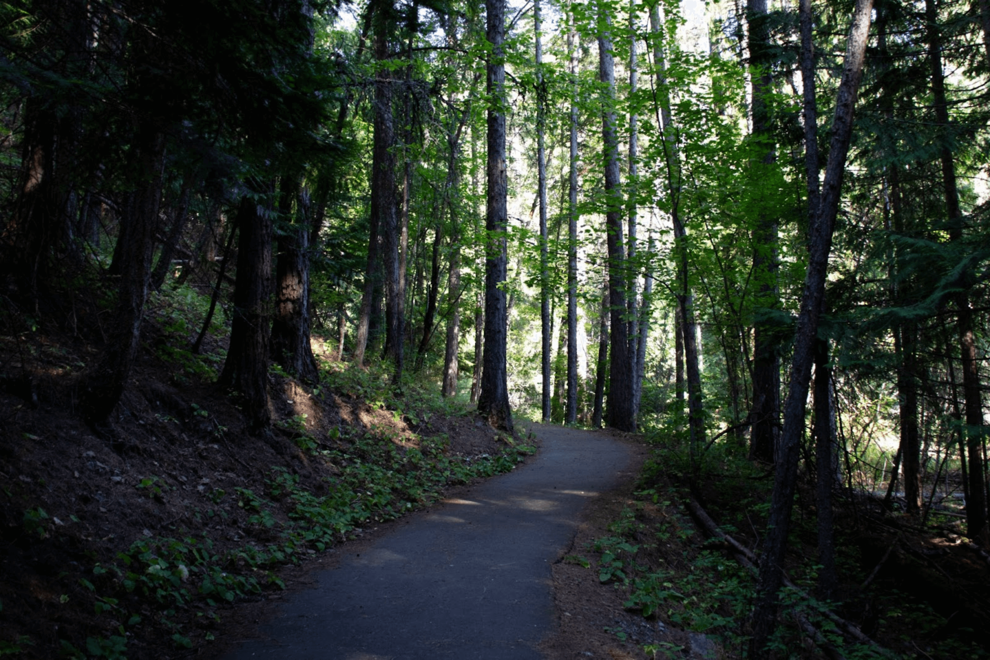
We parked at the Myrtle Creek Falls trailhead, where there is an accessible parking space. We then started walking on the trail. It’s a beautiful paved trail from the parking lot to the bridge. Once at the bridge, you can enjoy the view of the creek.
The trail does begin to incline after the bridge and heads toward the waterfall, but it’s important to know that even for those who continue, the trail doesn’t get close to the waterfall. So, if you cannot continue, you won’t miss too much.
Chickadee Trail
Across the road from the Myrtle Creek Falls parking lot is the Refuge Office. You can find information about the Kootenai Wildlife Refuge and its wild animals there. We enjoyed looking through the big monoculars (which are suitable for wheelchair users) to try and spot wild animals.
From the refuge office, we walked around the Chickadee Trail. It’s another short, easy, and paved accessible trail with many interesting interpretive signs. The loop goes around a small pond. It’s great for birdwatching, and there is a lot of shade.
Looking for another accessible thing to do in Kootenai Wildlife Refuge?
The scenic auto tour road is a 4.5-mile one-way gravel road that travels along wetlands and open grasslands. It’s a great place to see wildlife. We saw a deer enjoying the creek, which was pretty special.
Most visitors will enjoy the scenic road from the comfort of their car, but it is a multi-use road, so walking on the Auto Tour Road is also possible. It’s a flat road with packed gravel, so it’s wheelchair accessible.
Roman Nose Lake
After fully exploring Kootenai Wildlife Refuge, we ventured into the Selkirk Mountains to see the alpine Roman Nose Lakes.
Lower Roman Nose Lake is one of the only accessible mountain lake trails in Idaho. It has a boardwalk leading to the lake.
But it takes some dedication to reach the trailhead. You’ll have to drive on a two-lane, well-maintained gravel mountain road for about an hour before arriving at the trailhead. Sadly, the road was closed for maintenance during our visit (which was disappointing for us but great news for future visitors). But many locals recommended this hiking trail to our family.
Please note the lake is not accessible until late June-early July due to snow.
Important: Our GPS initially suggested driving on McCarthey Lake and Ruby Creek Rd. After talking to locals and reading reviews online, we discovered that this proposed itinerary was impassable by car. Instead, use the Snow Creek and Caribou Creek roads. The access is close to the Kootenai Wildlife Refuge entrance.
Other Accessible Things to Do in Bonners Ferry
There is more than hiking to do in Bonners Ferry. The city has several other accessible activities, such as wandering Main Street and discovering local shops and restaurants or visiting the Boundary County Museum.
While the museum is on Main Street, the best accessible parking is behind the museum, next to the visitor center.
Trails of the Coeur d’Alenes in Kellogg
The Trail of the Coeur d’Alenes is a fully paved, multi-use, accessible trail that stretches 73 miles from Mullan and Plummer. It’s perfect for those using wheelchairs or strollers and also great for biking.
The Trail of the Coeur d’Alenes’ smooth surface and gentle slopes make it an excellent choice for anyone wanting to enjoy the stunning North Idaho scenery. The trail has many places with accessible parking along the route, so you can choose different access points and enjoy as much or as little of the trail as you like.
During our visit to North Idaho, we hiked two sections of the Trail of the Coeur d’Alenes.
Kellogg section
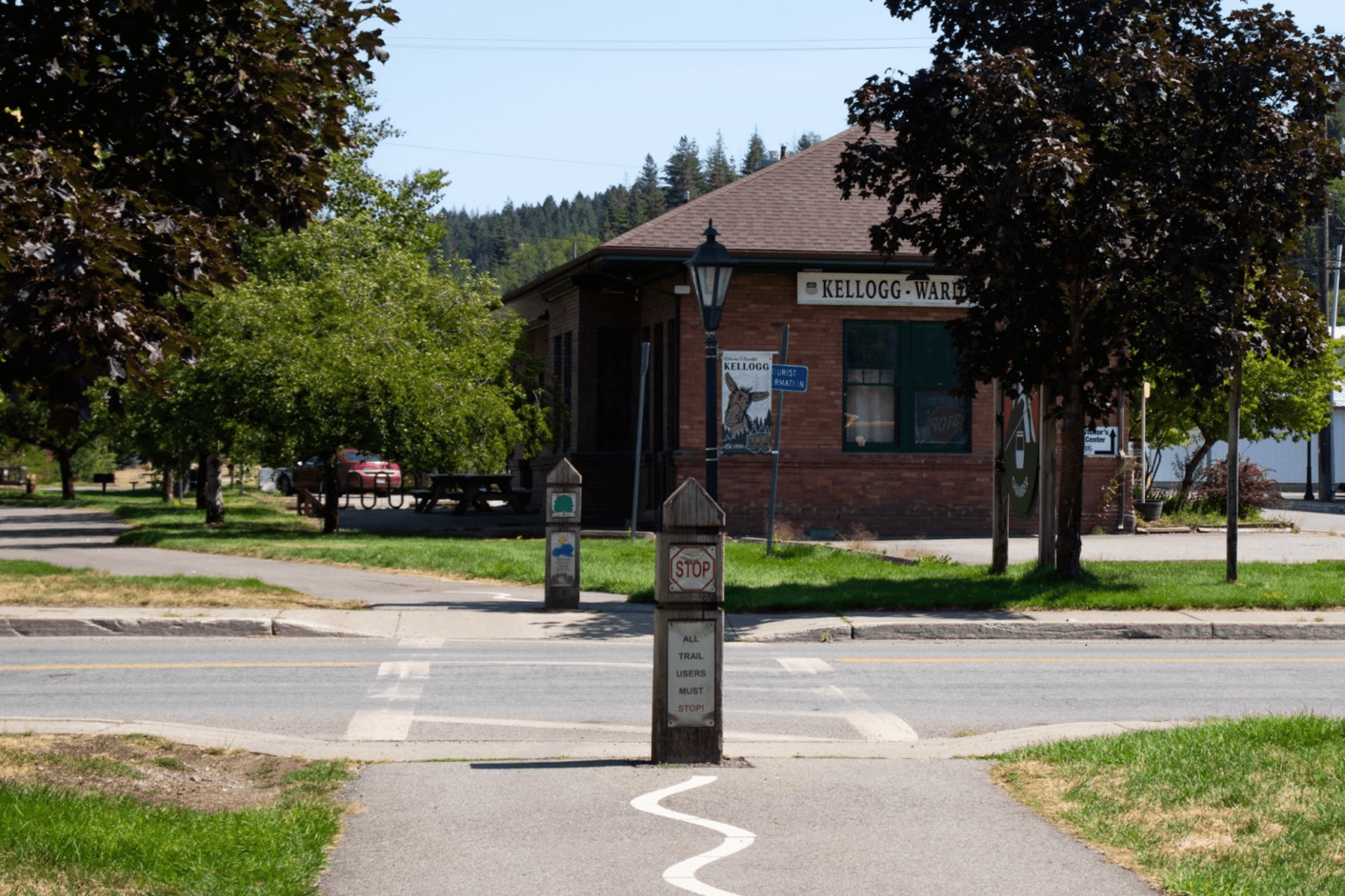
We parked at Kellogg City Park because I was craving a good latte from The Beanery, and the kids wanted to stop at the playground. The park offers great accessible amenities:
- An accessible parking space,
- Accessible restrooms and
- Even a free public pool with a pool lift.
We then walked west to the Kellogg Depot and east to Silver Mountain Resort. However, a more efficient itinerary would be to park at Elizabeth Park and walk to Silver Mountain Resort, stopping at the Kellogg Depot, for a total of 4.2 miles round trip.
Enaville section
On our way back to Coeur d’Alene later during our North Idaho vacation, we also stopped to walk on the Trail of Coeur d’Alenes at the Enaville trailhead. We walked across a beautiful little bridge and looked for fish. The area is popular for fishing.
Pulaski Tunnel Trail in Wallace
We couldn’t visit the Silver Valley without stopping in Wallace. We wandered around the city center, admiring the beautiful architecture of the historic building. We sadly didn’t make it to the Northern Pacific Railroad Depot Museum, but we did the Pulaski Tunnel trail instead.
The trail is famous for connecting to the 1910 Big Burn wildfire, during which Ranger Ed Pulaski led his men to safety. An accessible parking lot makes it simple to explore this historically significant site.
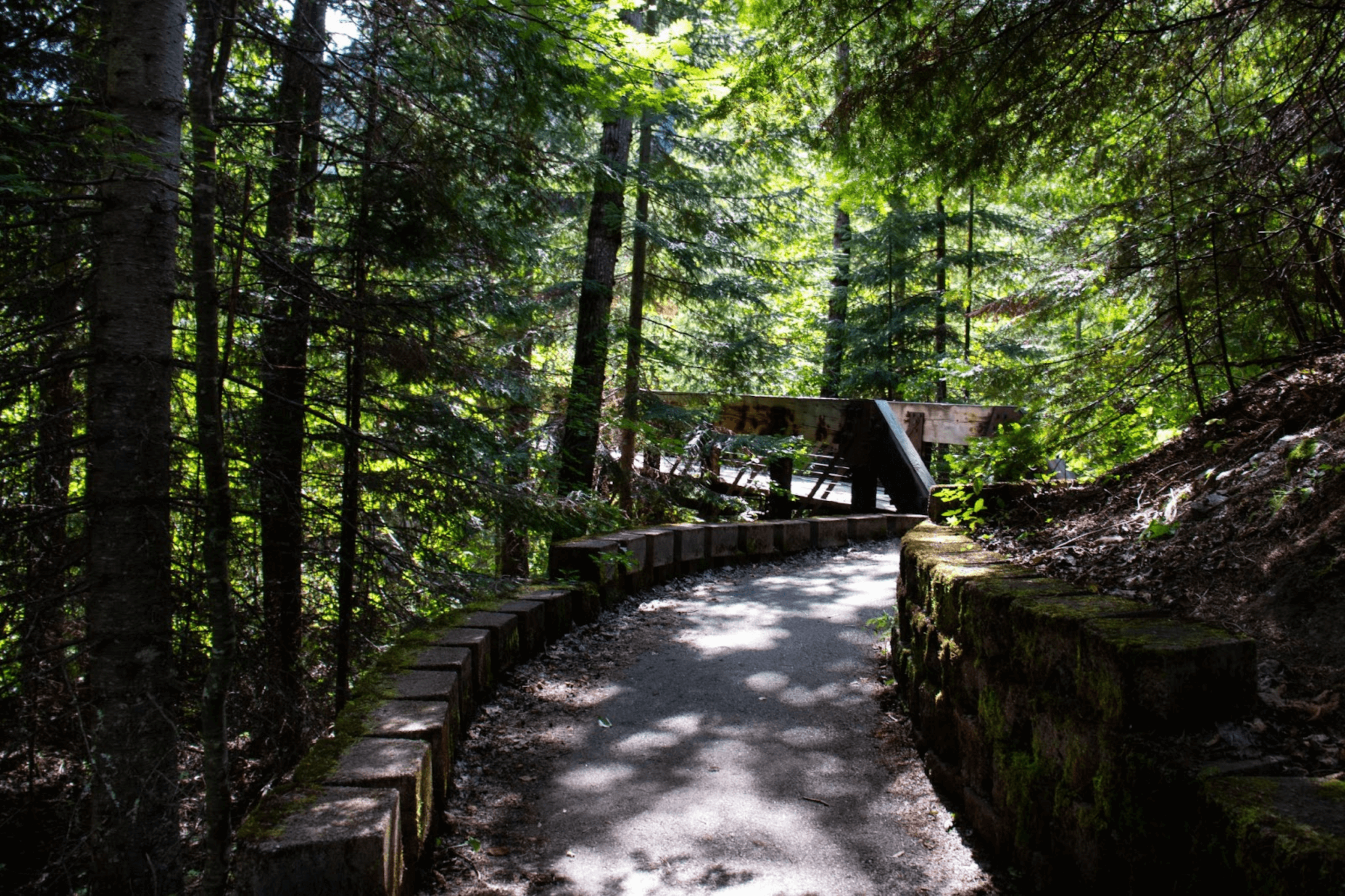
The first 250 feet of the Pulaski Tunnel Trail are accessible. This portion is smooth, easy to navigate, and features interpretive signs explaining the tunnel’s history and fire.
The rest of this 4.0-mile hike leads to the remains of the Nicholson mine – now known as the Pulaski Tunnel, but it’s unsuitable for wheelchairs.
Looking for another accessible trail in the Silver Valley?
If you have extra time on your visit to Silver Valley, ID, you might want to consider the Fern/Shadow Falls trail. It’s a beautiful and peaceful place. The drive from Kellogg to the trailhead, with a section on a gravel forest road, takes about 1h 15m.
The hike to both waterfalls is short and relatively easy. It’s only 0.6 miles long to see not one but two waterfalls: Fern Falls and the Shadow Falls.
However, only the first portion of the path is accessible to people with disabilities. Fern Falls is the first waterfall along the trail. Not too long after the start of the hike, you can see the waterfalls. A little farther along, Shadow Falls awaits. It stands taller and offers an even more impressive view.
Both falls are surrounded by lush greenery.
Accessible Trails in Sandpoint
Sandpoint is known for Schweitzer, Idaho’s largest ski resort, and Lake Pend Oreille, the second-largest lake in the Western US after Lake Tahoe. But it’s also home to several accessible trails that offer scenic beauty and easy access for everyone, including those using wheelchairs or strollers.
Pend d’Oreille Bay Trail
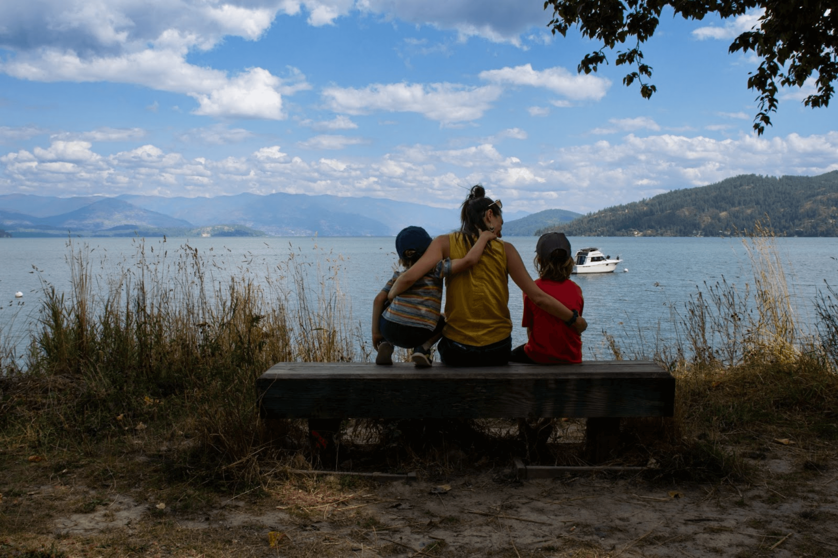
After a few hours at the beach, it was time to move a little, so we decided to walk on the Pend d’Oreille Bay Trail. You can get to the trailhead from Sandpoint City Beach, but a dedicated parking lot is next to the Seasons At Sandpoint. We decided to stay parked at the public parking lot and walk to the trailhead.
This flat, accessible trail runs along the shoreline of Lake Pend d’Oreille. It’s not a paved trail but a well-maintained gravel walking trail. Also, the trailhead is not well marked, but it’s easy to find.
It’s only 1.5 miles long (one-way) and provides picturesque water views. A few benches along the way allow you to slow down and admire the lake.
Long Bridge – Sagle Trail
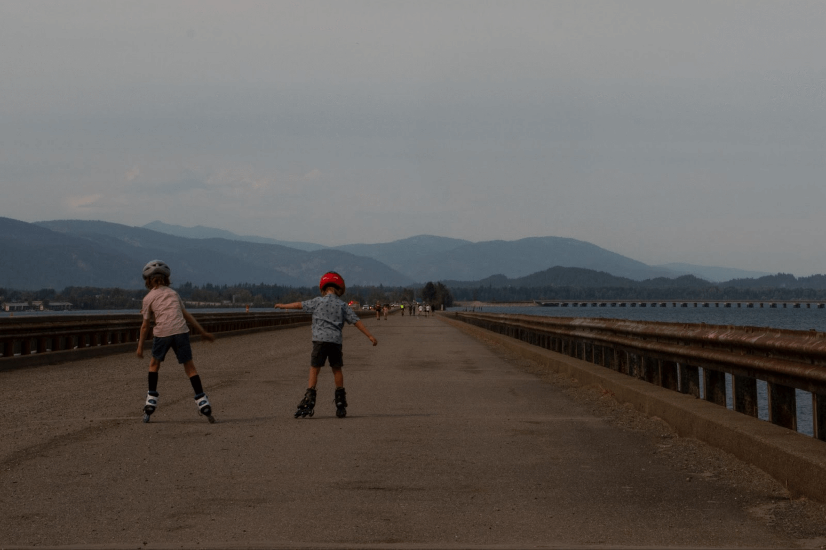
Another great multi-use trail we tested during our stay in Sandpoint was the Long Bridge — Sagle trail. You can park near the International Selkirk Loop visitor center in Sandpoint or in the parking lot near the trailhead in Sagle (on the other side of the highway from The Lodge at Sandpoint).
I recommend starting in Sagle since you’ll begin to walk directly on the bridge. If you decide to park in Sandpoint, you must walk beneath the highway in a semi-industrial area before crossing the bridge.
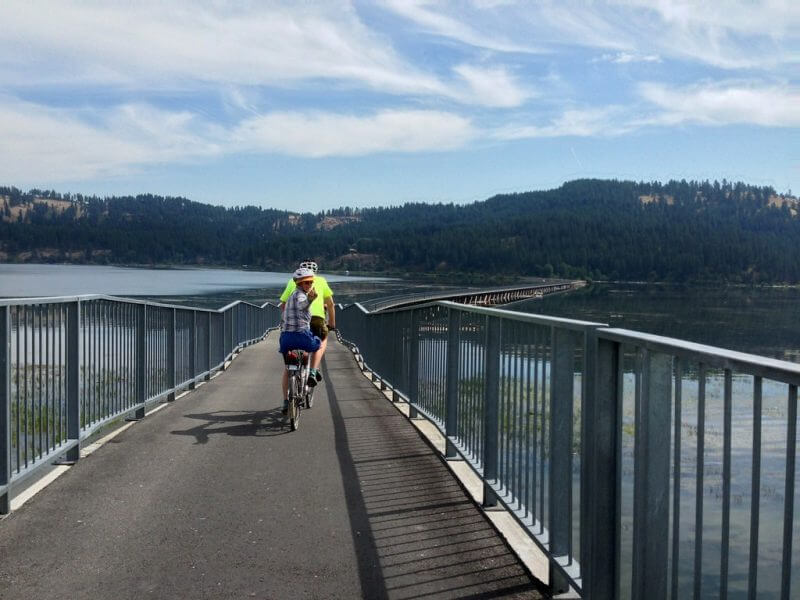
This flat trail is perfect for walking, biking, or enjoying the views. As you cross the Long Bridge, you’ll see stunning views of the lake and surrounding mountains. The trail is 4.8 miles (round trip) long.
Note that it’s a busy and loud trail since it’s next to the main road.
Sandpoint Dover Community Trail
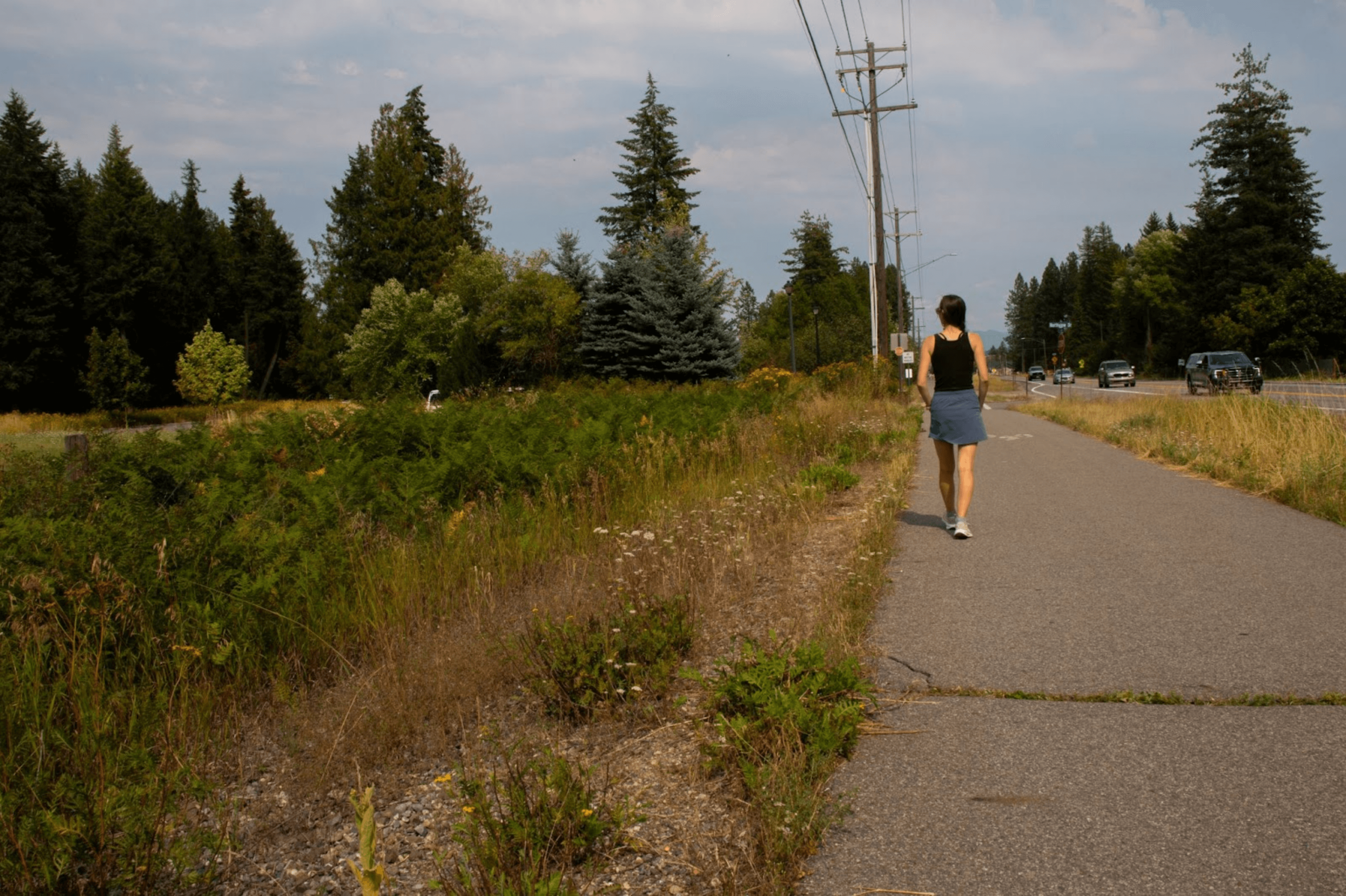
This family-friendly trail is ideal for walking or biking and is fully accessible for wheelchairs and strollers. It connects Sandpoint to Dover and is about 3 miles long (one-way).
But it’s a bit tricky to find parking.
There are no accessible parking spots (or public parking lots in general) near the trail. We first drove to Dover to the trailhead, but we couldn’t park on the side of the road. After talking to a local, he suggested that the best place to park would be near the Dover Marina, which makes getting to the trailhead a little more complicated.
The best option is to park at the Idaho Panhandle National Forest – Sandpoint Ranger District and start from there, either walking towards Dover or Sandpoint.
Other Accessible Things to Do in Sandpoint
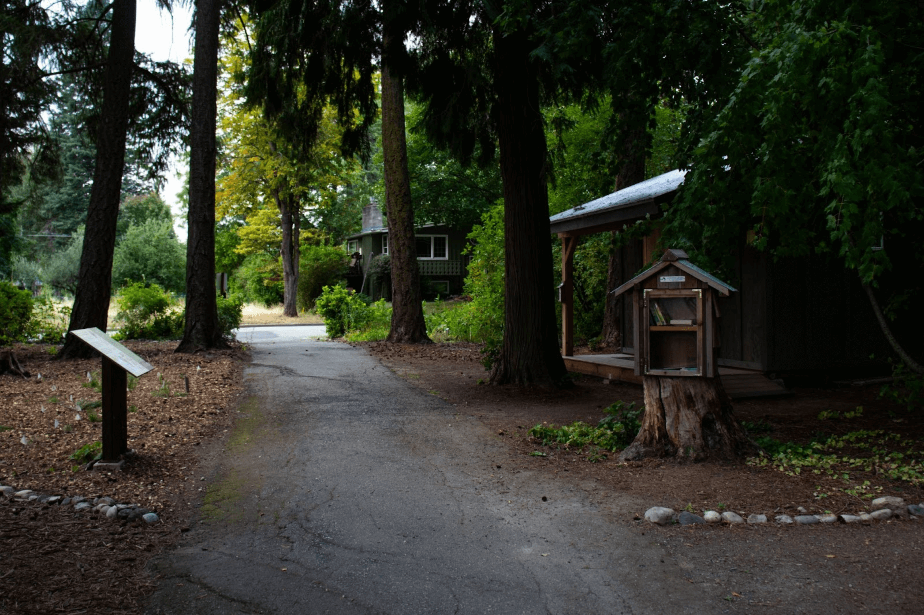
Sandpoint has many things to do, from spending an afternoon at the beach to walking downtown. However, one place we enjoyed was the Arboretum and the Bonner County Historical Society & Museum, which are both accessible.
The peaceful arboretum is next to the Bonner County Historical Society & Museum and has accessible pathways winding through beautiful gardens.
It’s an ideal spot for a quiet stroll while learning about the local plants and trees. Plus, the museum also offers places with accessible parking.
The museum’s first floor is accessible, but the second floor can only be visited using the stairs. It’s an excellent combination for a day of nature and history.
Pend Oreille Passage Trail
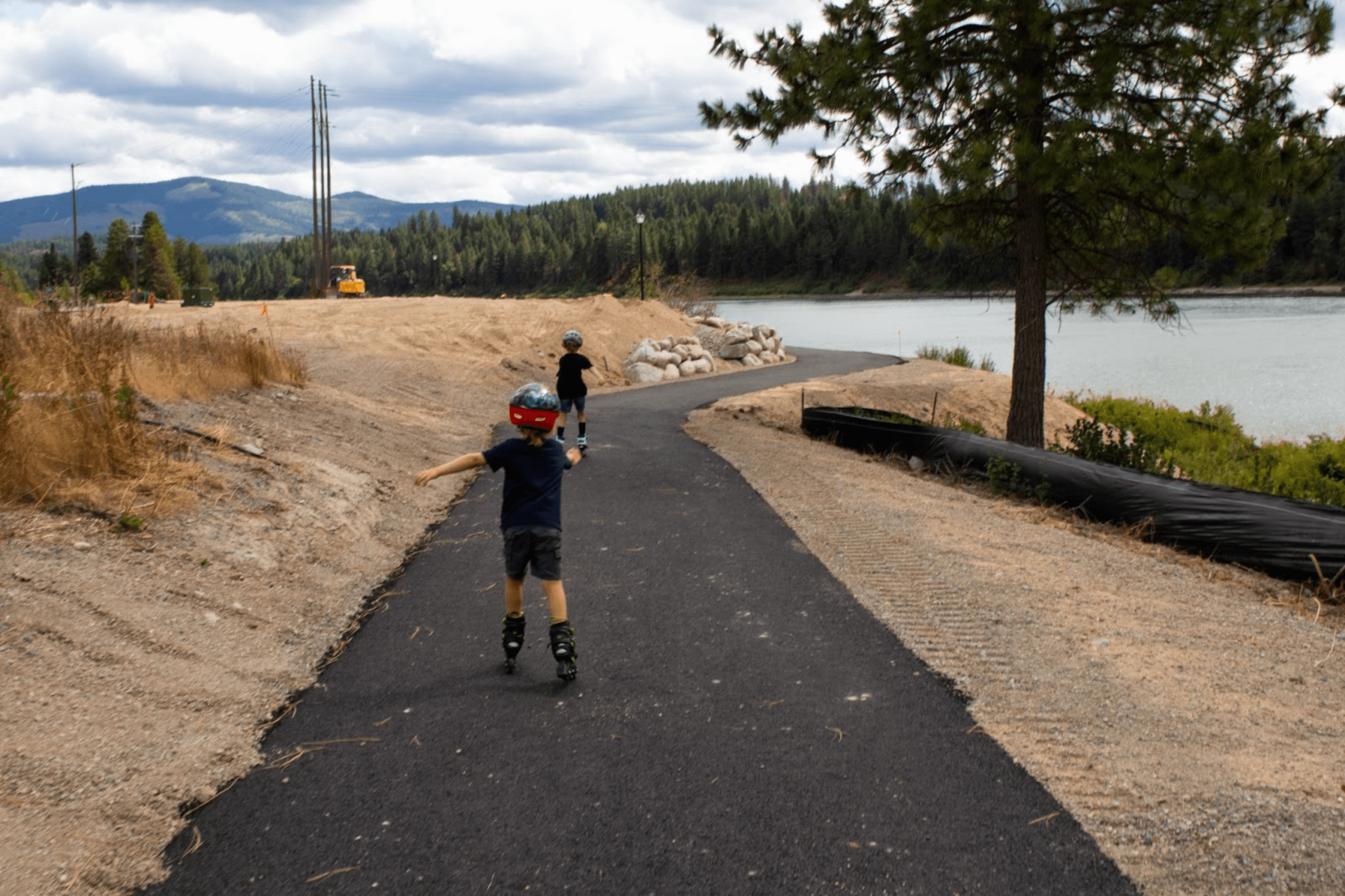
The Pend Oreille Passage Trail is an exciting project in progress. It will eventually become a 25-mile bike and walking trail that connects Dover to Oldtown, ID.
Currently, only a small section along the river, around 0.3 miles (one way), is available for walking and biking, starting from Oldtown’s Rotary Park and heading east.
Though it’s still in development, this beautiful, flat, accessible trail offers stunning views of the water. However, no signs lead to the trail from the parking lot yet.
We walked on the trail and then decided to enjoy the riverbank and try to skip some rocks. It’s a peaceful spot. We parked next to Rotary Park’s building and saw an accessible parking spot.
Another (Semi) Accessible Trails in North Idaho: Hanna Flats Nature Trail
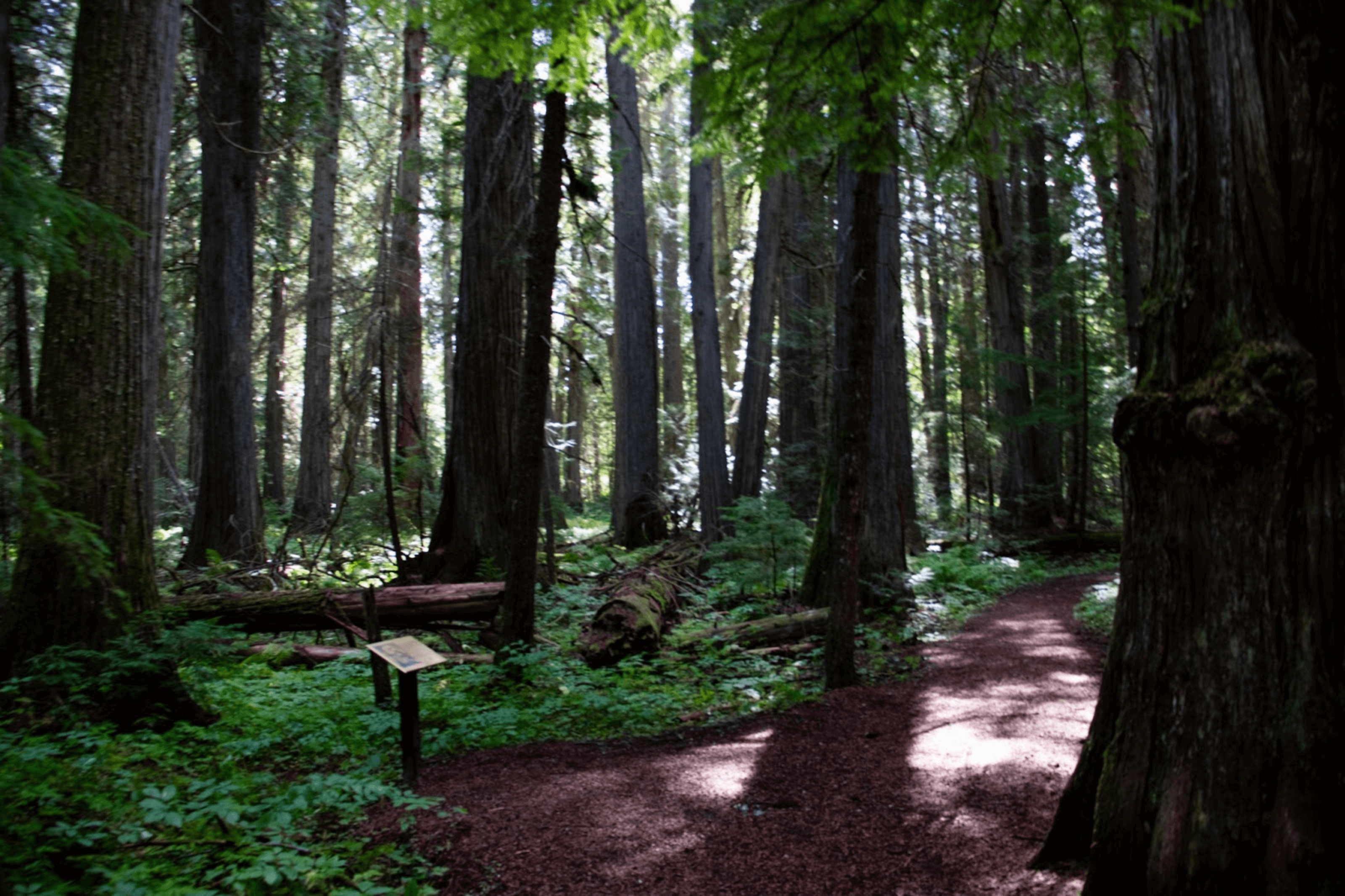
Hanna Flats Nature Trail offers a beautiful, short nature walk near Kalispell Bay in Priest Lake. After driving about a mile on a gravel drive, you’ll reach the small parking area with space for five cars and an accessible vault toilet.
It’s a beautiful trail featuring many interpretive signs highlighting the area’s natural beauty and history. While the trail is only about 0.7 miles long, it also took us an hour to complete it because the kids wanted to stop at every sign and try to read it themselves.
The interpretive signs made this hike an educational and enjoyable experience. However, the trail is relatively narrow in some sections, so while it’s great for hiking, it may not be fully wheelchair accessible or suitable for strollers. Despite this, it’s a peaceful spot to explore North Idaho’s forests with a touch of learning.
Conclusion
North Idaho offers a wide range of accessible things to do, from scenic trails to peaceful gardens. Whether you’re exploring accessible trails like Roman Nose Lake, the Trail of the Coeur d’Alenes, or the Arboretum in Sandpoint, there are many options for everyone to enjoy.
These trails provide stunning views and places with accessible parking and amenities, making your visit easier. We encourage you to get out and explore these beautiful, accessible trails and enjoy all the accessible activities that North Idaho has to offer.
