Waterfalls
Daydreaming about stunning things to do in Idaho? You’ve got to try an invigorating walk beneath the stunning falls. Feel that blast of captivation wash over you and take your pick of any waterfalls near you as you wander through the north of the Gem State. Here, misty magic cascades right by the wildest blooms. Marvel at the might of the natural Earth—then, come experience the rush of towering trees guiding you through dazzling streams, enchanted by the plunging drops.
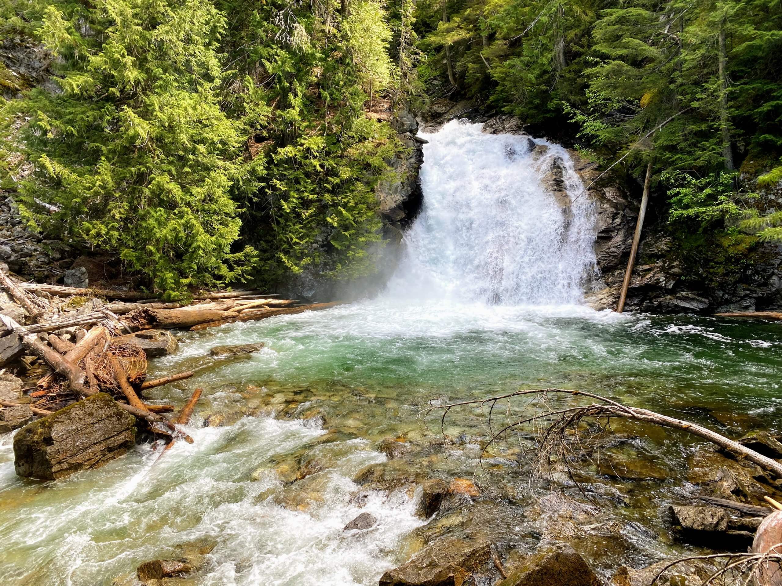
American Falls
An exaggerated stone’s throw from the Canadian border, the Upper Priest River tumbles roughly 40 feet as its namesake falls before continuing its journey down into the Idaho panhandle. Also known as American Falls, this cascade with its inviting splashpool is the end goal of a hike through a pristine old-growth forest that is arguably the headliner of the hike.

NF-302, which soon becomes gravel, for 12.1 miles and briefly pass into Washington State along the way. Continue straight onto what is now NF-1013 and continue another 22.5 winding miles to the end of the road at the trailhead parking area.
Although there are longer options available, the version that utilizes the Continental Creek Trail #28 from the end of NF-1013 makes for a tidy 4.4-mile out-and-back hike with 1000 feet of elevation loss and gain. Plus, there’s the added bonus of an additional waterfall on Continental Creek on the far side of the trailhead parking area.
From the trailhead, the path dives immediately into one of the most extensive tracts of intact old-growth forest in the Pacific Northwest, beset by massive hemlocks and cedars. The world’s only snow-fed inland temperate rainforest is home to a vast array of flora and fauna. Grizzly and black bear, woodland caribou, deer, moose, and mountain goats. In addition to towering trees, hikers will enjoy a very lush understory of lady ferns and a multitude of moss and lichen
The trail descends somewhat steeply along a set of switchbacks before arriving at a junction, where you’ll stay straight following signage toward the falls. Cross a bridge over scenic Malcom Creek and arrive at a welcoming campground on the banks of the Upper Priest River. The trail continues alongside the pristine waterway in a final push to the falls. Return the way you came.
Char Falls
An enticing side excursion from the Pend Oreille Scenic Byway, Char Falls is a semi-remote 50-foot waterfall in the Kaniksu National Forest. While the one-mile out-and-back hike with less than 100 feet of elevation gain is little more than a leg stretch after miles of gravel road travel, it is a worthy goal for waterfall hunters.

Getting there: From the town of Trestle Creek, Take Trestle Creek Road/NF-275 east. After 5.2 miles make a slight left to stay on Trestle Creek Road. After 2.6 more miles, the road turns left, becoming NF-275. Drive 3.8 miles and make a right to stay on NF-275. After 0.6 mile, make a sharp turn left to stay on NF-275. Drive 3.3 miles and turn right onto NF-419. Drive a final 0.7 mile to a wide pullout on the left.
From the trailhead, begin descending down a broad, former logging road. The road ends at a large turnaround and campsite that is occasionally utilized as parking for offroad vehicles. A footpath continues at the far end of the turnaround, re-entering a young forest. The trail soon arrives at a very pleasant picnic area on the banks of Lightning Creek at a set of small but photogenic upper falls. As is the case with all creeks in this part of the state, the waters run clear and cold here.
Trace the creek over to a rocky outcrop that provides some inspiring canyon views along with some more photo ops before picking up a boot path leading out onto a ridge and down to Char Falls. The trail morphs from hike to scramble on its way to the base of the falls. The good news for those not inclined to off-trail explorations is that there are a few very good viewpoints before things get too dicey. Return the way you came.
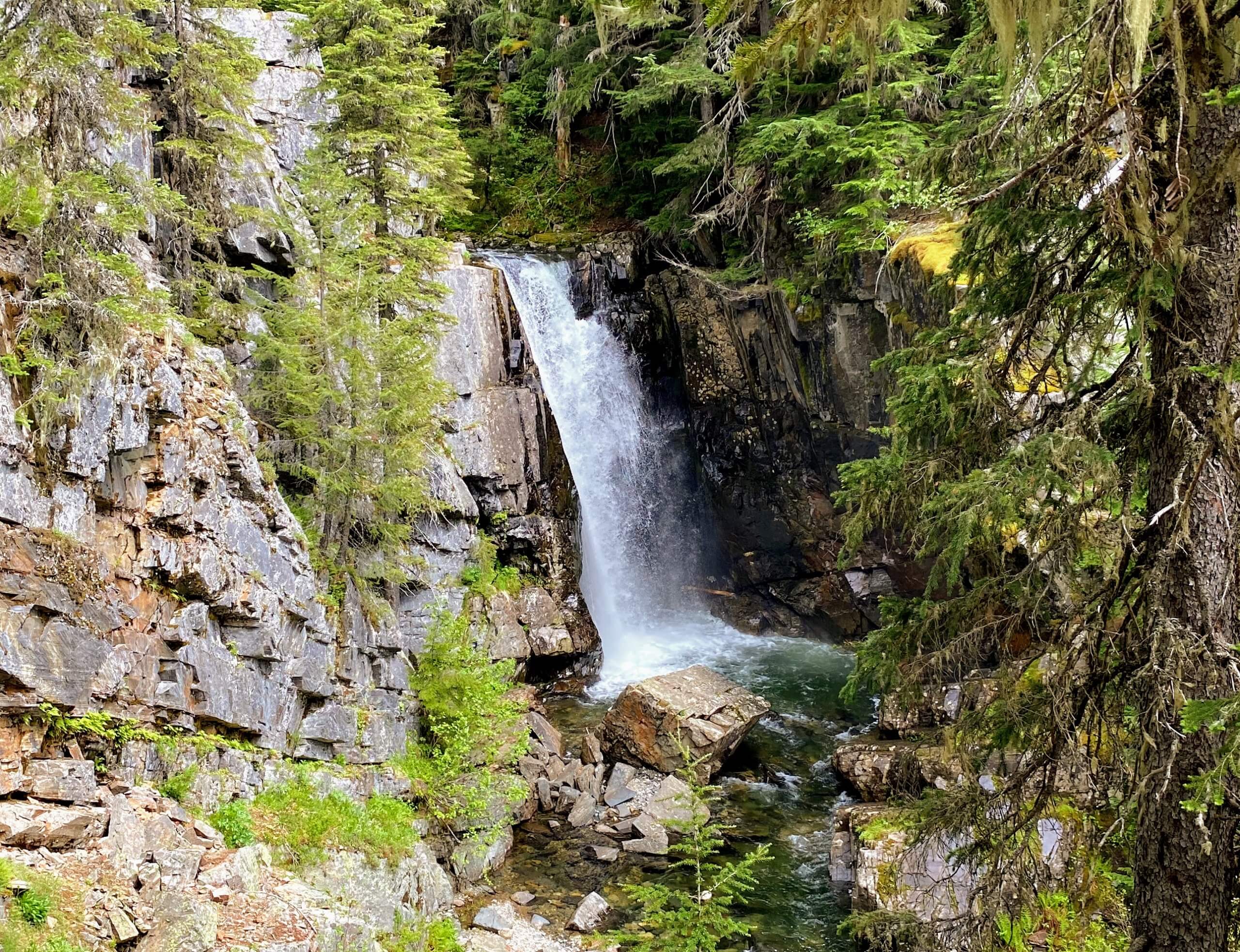
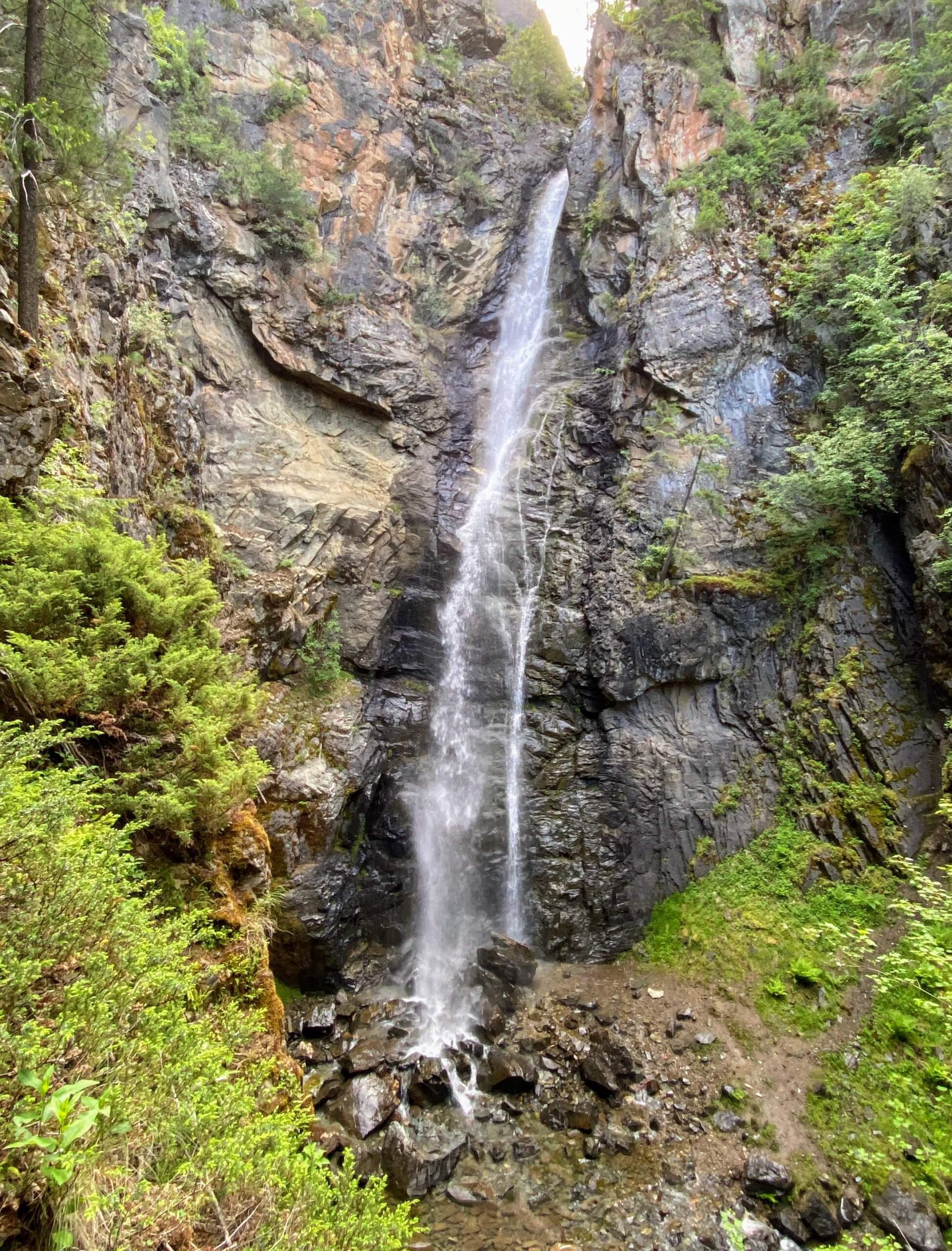
Copper Falls
A scant two miles from the Canadian border, Copper Falls is a 225-foot beauty and the tallest waterfall in the area. The graceful, ribbon-like cascade is the centerpiece of a one-mile self-guided interpretive loop with 150 feet of elevation gain that is a hiker’s delight. So enjoyable that it makes you wonder if it had any influence over the placement of the aforementioned border.

Directions: From Bonners Ferry, head north on Highway 95. After crossing the Moyie River, immediately turn right at Copper Falls Road onto road #2517. Follow the gravel road about 2.5 miles to the parking lot and trailhead.
From the trailhead, the path enters and explores a mixed-age forest of western larch, Douglas fir, and pines. Along the route, 15 Nature Trail Stations provide helpful and intriguing tidbits about the flora, fauna, and the local ecology at work. Stay left/straight at a set of junctions, signed for the overlook view of Copper Falls. Affording a full-frontal view of the falls, the overlook gives an eye-level look at the massive rock face that the falls tumble over, as well as the verdant grotto of green that Copper Creek plunges into.
From the overlook, backtrack to the previous junction and go left to continue the loop. Wildflowers of all sorts dominate the hillsides here depending on the season. Look for paintbrush, lupine, and mariposa lilies in summer. The path winds down to a look at the falls near the base, before crossing Copper Creek on a bridge. The forest is decidedly different near the shaded creek, exhibiting more cedars and maples. The hike strolls easily alongside the creek for a short stretch before re-crossing it and meandering back towards the trailhead. Look for more wildflowers along the sunny slopes on this final stretch and try not to be too sad as you complete the loop.
Granite Falls
For most visitors, the falls themselves would be enough. From the lower viewing area, the North Fork of Granite Creek pulls off a bit of an optical illusion. As it appears through the trees, the creek takes a hard left turn and seemingly defies logic and gravity by sliding sideways down a broad slab of rock, righting itself at a splashpool. Then, as if noticing eyes were upon it, takes another immediate tumble in a more traditional fashion. But for aficionados of ancient forests, there’s a very enticing additional draw.

Getting there: From Nordman, head north on ID-57/West Side Road for 0.8 mile. Continue onto Nordman Road/NF-302 which soon becomes gravel for 11.6 miles. Turn left onto Stagger Inn Campground Road and continue a final 0.4 mile to the trailhead parking area.
And that draw is the Roosevelt Grove of Ancient Cedars. On April 15, 1943, the grove was officially designated as a Scenic Area. The Upper Grove has been left undeveloped. And can be readily explored on foot. The average age has been estimated at 800 years, with a few specimens placed in the 2000-3000 year-old range. Visitors can take it all in over the course of a 2.5-mile hike with 350 feet of elevation gain.
But first, the waterfall. From the parking area, a short path leads to a viewing area near the base of the Lower Falls. After taking in the multi-directional water flow of Granite Falls from below, a one-mile loop hike ascends a set of switchbacks to an inspiring viewpoint high above the falls. The trail parallels the creek to a view of the upper falls before arriving at a junction to the Upper Grove. If you’re only in it for waterfalls, take a right and complete the loop via an easy descent back to the trailhead.
But if you’d like to inspect some of the most impressive and accessible old-growth forests to be found, take a left and walk along an old road an additional 0.5-mile to the Upper Grove where a marked mini-loop explores the parcel of towering trees. Once you’re done being dumbstruck, return the way you came and complete the loop.
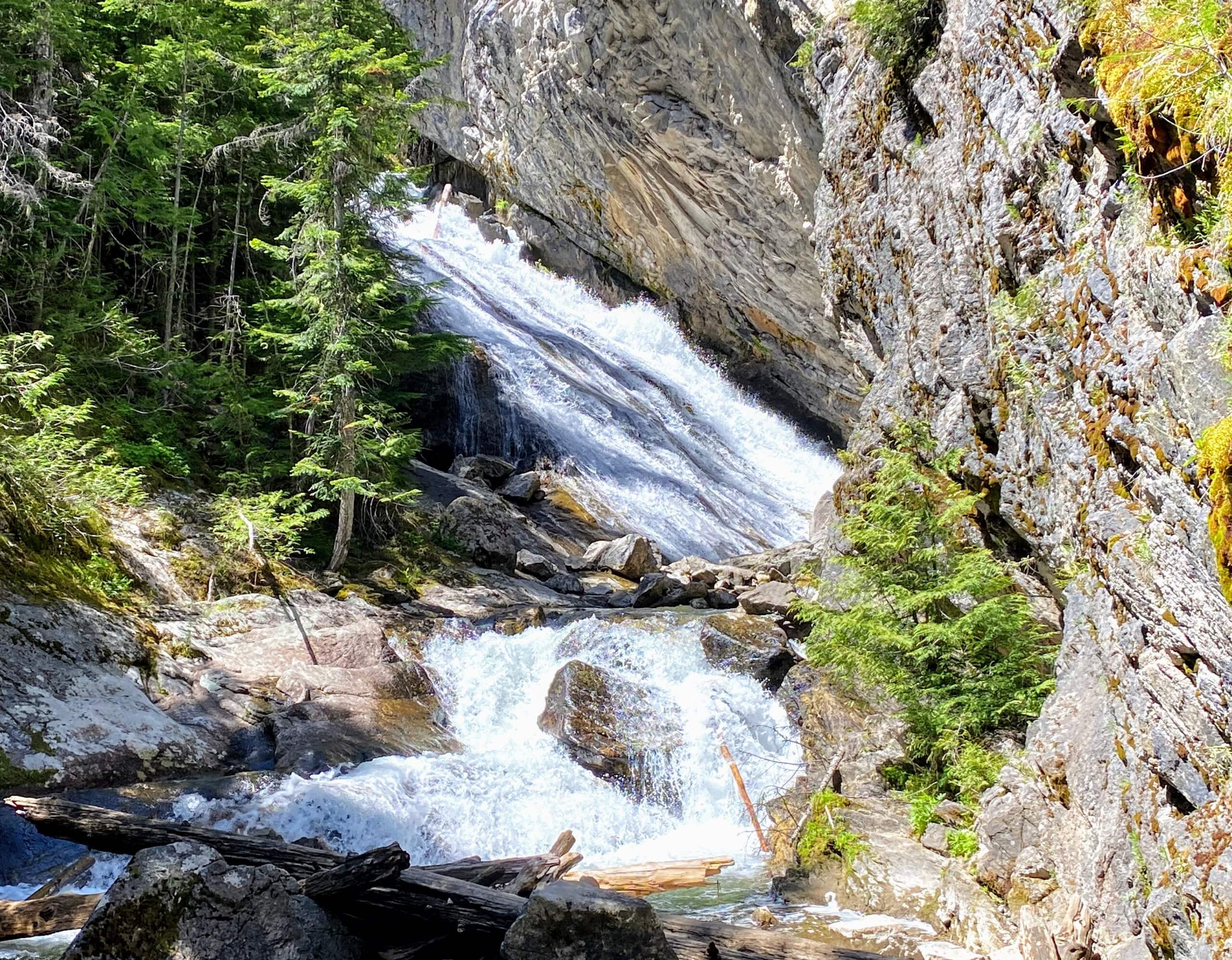
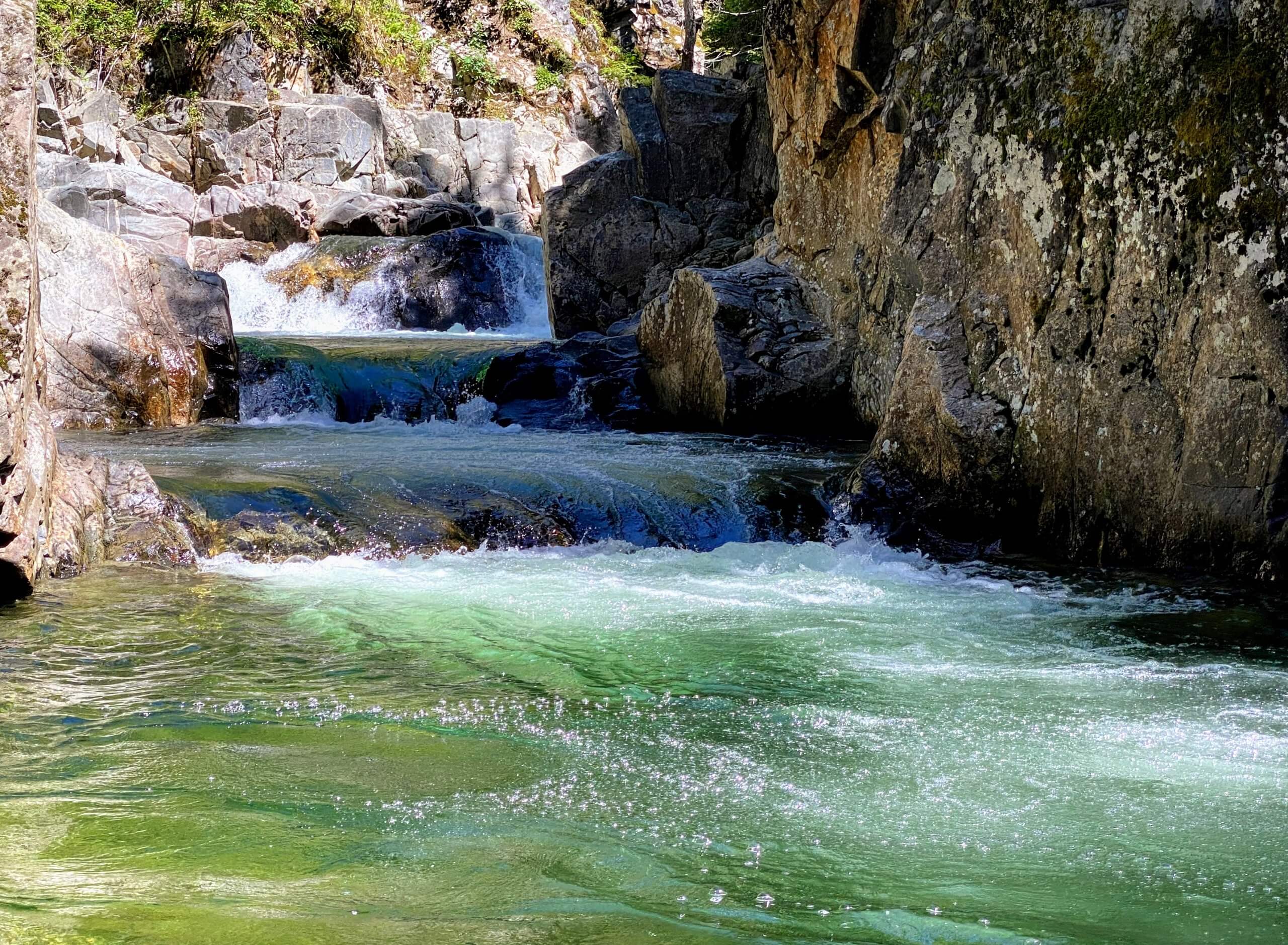
Grouse Creek Falls
Is it a thundering torrent of water with power that resonates in your chest? Nope. Does the trail carve through miles of pristine, remote Idaho wilderness? Negative. On the contrary, Grouse Creek Falls is more of a small set of drops into a splash pool than a careening waterway. And the short walk to them, a 0.8-mile out and back with 30 feet of elevation gain, is only a handful of miles out of town. But the grotto where they live is magic and the fact that they are that close could more easily be viewed as a benefit than a bummer.

Getting there: From Sandpoint, head east on Highway 200. Turn left on Colburn Culver Road and drive 5.8 miles to Grouse Creek Cut-Off Road and drive 1.5 miles to Grouse Creek Road. Turn right again and continue 4 miles to an unmarked road that veers to the right. Follow the unmarked road down to the parking area and trailhead.
A broad, dirt path leads into the woods and soon narrows into a more traditional trail paralleling Grouse Creek. The path is lush with cedars and thimbleberry and the creek is a constant companion. It can be a muddy track in some places, even in the dead of summer, and there are some large rocks to navigate around and through. So plan footwear accordingly.
After a little less than half a mile, the path splits into a “high road” or “low road” choose your own adventure scenario to reach the falls. The steep-ish uphill scramble route left leads to a handful of lookouts over the falls. The trail to the right stays along the water but at some point will require you to get wet to put actual eyes on the falls. But let’s consider that a bonus. Because the falls, though petite, are particularly attractive from eye level. Plus, in summer a creekside beach before the falls provides an excellent spot to pass away an afternoon. And the crystal clear creek waters were made for wading. Return the way you came.
Myrtle Falls
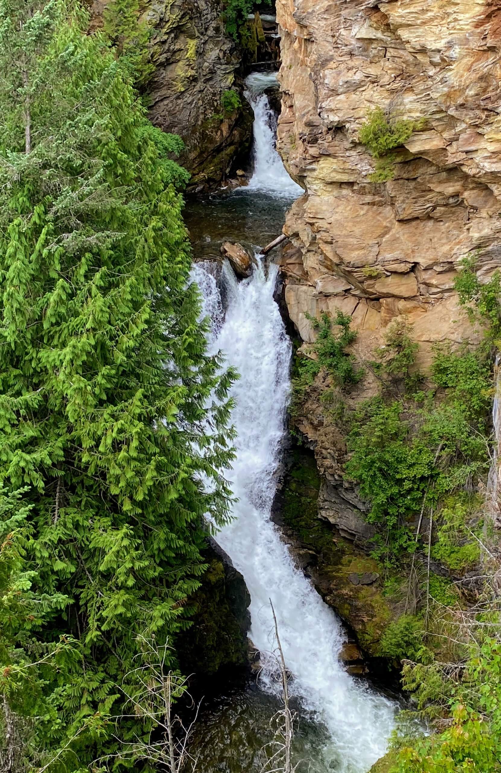
The 2,774-acre Kootenai National Wildlife Refuge outside of Bonners Ferry is home to many things. Including 22 species of fish, 7 species of amphibians, 6 species of reptiles, 45 species of mammals, and over 223 species of birds. Oh, and one spectacular waterfall. Any photos you’ve seen, pleasant as they may be, do not do the 100-foot Myrtle Falls justice. And a 0.8-mile out-and-back hike with 150 feet of elevation gain will let you assess that statement for yourself.

Getting there: From Bonners Ferry, drive north on Highway 95 and turn left onto Riverside Street. Continue for about 5.5 miles to the Myrtle Creek Falls parking lot and trailhead.
There’s a lot to see and do at the refuge – driving tours, biking, hiking, wildlife viewing, and then some. So even if your primary goal is laying eyes on a waterfall, you owe it to yourself to enjoy some of the other attributes afforded by the refuge while you’re in the area. But that waterfall is a stunner, so let’s get you there.
The Myrtle Falls Trail begins in a tantalizing, follow-the-yellow brick road sort of way. A broad paved path starts out innocently in an open meadow. But you can’t help but look off to where the trail is headed – a dense, verdant, and inviting forest. Things get lush in a hurry once you cross the wooded threshold. Maples and cedars form a protective canopy above a thriving mix of bracken fern and thimbleberry down below.
The paved path soon arrives at a bridged crossing high above a very photogenic Myrtle Creek. On the other side of the bridge, the paved path is replaced by a single-track hiking trail that soon begins ascending. After a set of switchbacks, the path ends at a fenced viewpoint with a bench. Here, Myrtle Creek squeezes through a narrow gorge before taking the two plunges that produce Myrtle Falls. Guarded by trees on one side and an imposing rock palisade on the other, it’s a scene that looks more rugged, remote, and far less accessible than it actually is. Kind of like Northern Idaho in general. Take your time to take it in before heading back the way you came.
Post Falls
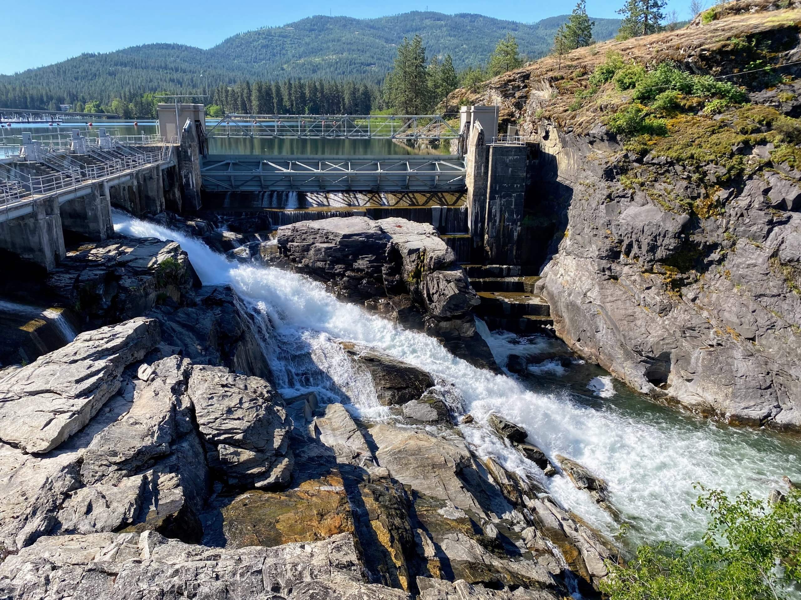
Yes, Post Falls (the waterfall, not the namesake town) is a melding of manmade and natural elements. And it’s not a hike so much as a casual stroll through the park that gets you to it. But the park is beautiful and the falls are a remarkably intriguing mix of human and natural history that is thoroughly detailed by interpretive signage throughout the park.

Getting there: From downtown Post Falls head south on North Spokane Street and make a right on West 4th Avenue. Drive 0.3 mile to the parking lot for Falls Park on the left.
From the parking area, follow a paved path past a set of restrooms. The 0.5-mile loop with negligible elevation gain makes its way to numerous viewpoints of the river, dam, and the falls. Expect a robust flow in spring that tapers as the days get longer and an ever-changing lineup of seasonal wildflowers near the river.
Some history – The Post Falls hydroelectric project on the Spokane River began operating in 1906. The plant continues to generate electricity today, using most of the same equipment installed more than 100 years ago. In northwestern Idaho, the Spokane River splits into three channels, each with a natural falls. Just downstream of the falls, the three channels rejoin. In the late 1800s, pioneer Frederick Post discovered this site and immediately recognized its development potential.
He built a dam across the river’s north channel to divert flow to his sawmill. In 1904 the newly formed Washington Water Power Company purchased Post’s site and began making plans to develop a hydroelectric facility. Since its completion, the Post Falls project has served as an important source of electricity in northern Idaho and eastern Washington.
The geologic history of the Falls Park area is also fascinating. These are some of the oldest rocks in Idaho, which began as soft sediments in an ocean basin that hardened with time and pressure. At the end of the last Ice Age, the Missoula Floods scoured away the softer rock and exposed the bedrock that controlled the level of the original Lake Coeur d’Alene and created the falls that attracted Frederick Post to settle here.
Pulaski Tunnel Trail
A short drive from the wildly charming town of Wallace, the two-mile Pulaski Tunnel Trail takes hikers back into local history. In the summer of 1910, wildfires consumed more than 3 million acres of Idaho, Montana, and Washington. Ranger “Big Ed” Pulaski led a fire crew of 43 men into the Nicholson mine, now known as the Pulaski Tunnel, saving all but six of them. A 3.7-mile out-and-back hike with 750 feet of elevation gain follows part of the route the crew took along the West Fork of Placer Creek. With the turnaround point being an overlook viewpoint across from the tunnel. Today, the trail and the mine are listed on the National Register of Historic Places. Within the firefighting community, Pulaski is also remembered for refining the two-bladed tool that bears his name.

Getting there: From downtown Wallace, take 2nd Street south to Queen Street and make a right. Make a left on King Street, which eventually becomes NF-456. Continue less than a mile to the parking area and trailhead on the left.
For decades, the tunnel’s location was lost. In 1979, archaeologist and historian Carl Ritchie discovered its location outside Wallace and community members raised funds to create a trail to the site. Which includes interpretive signage and a restored wooden gateway to the tunnel. The hike begins by paralleling then crossing the Forest Road and skirting around a water tank before a bridge crossing. From then on, the trail parallels the creek the rest of the way.
And what a pleasing paralleling it is. There might not be any large, named waterfalls along the West Fork of Placer Creek. But there are plenty of tumbling cascades and a few standouts that are good spots for a snack break. The spruce and fir forest is lush and lively with summer ferns and wildflowers making constant hiking companions. In addition to the informative signage detailing area history and describing relics from the past.
The hike gains elevation steadily but never greedily, providing a good amount of “sneaky” exercise by the time the path ends with a mini-loop of history and an overlook of the tunnel entrance. After taking in the scenery and a few history lessons, head back the way you came.
Shadow Fern Falls
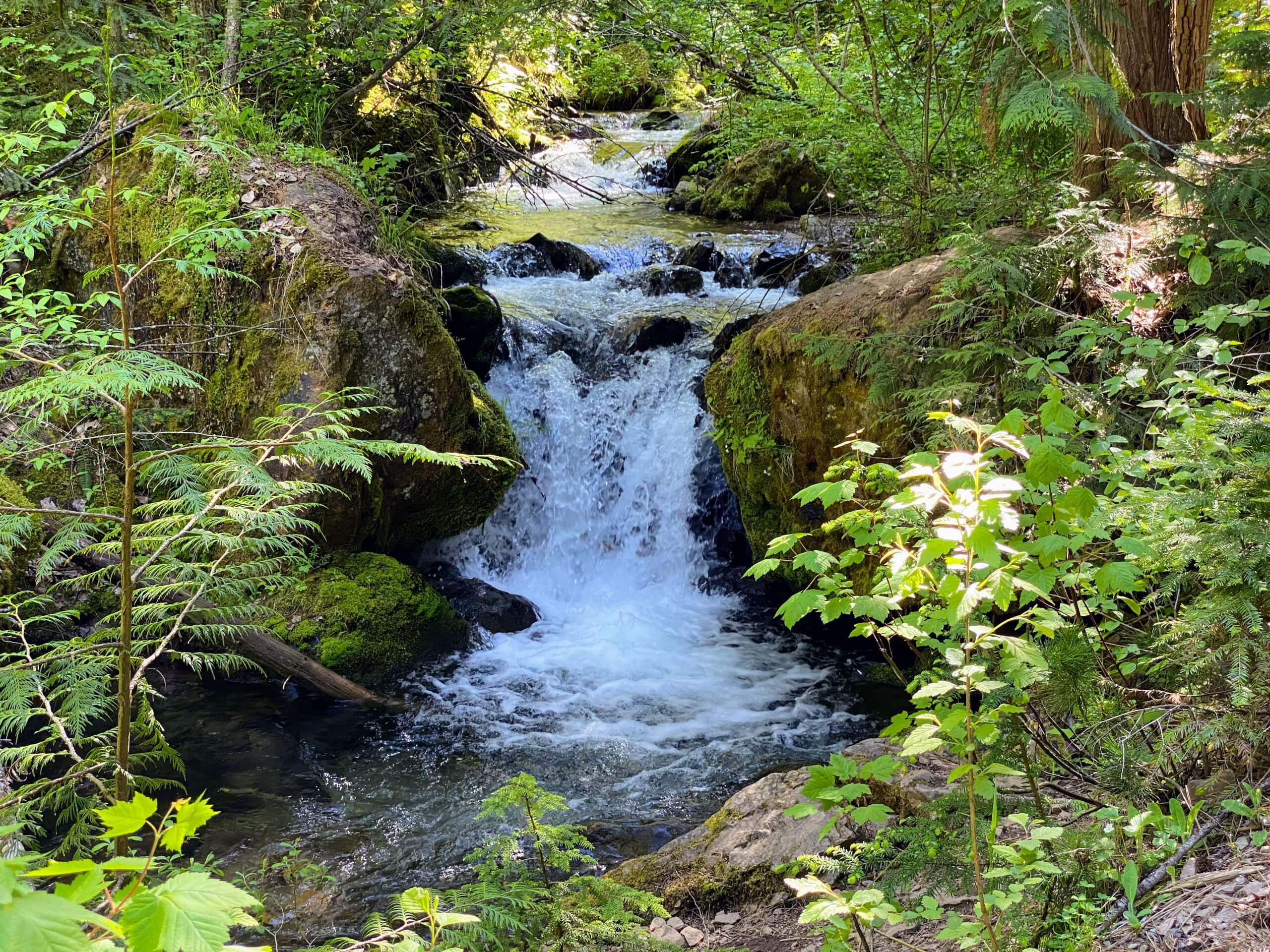
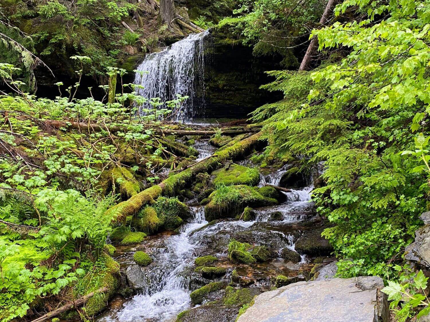
It’s a bit of a drive from Wallace, but it’s a pretty one! And the 0.8-mile out-and-back hike with 150 feet of elevation gain at the end of it visits a pair of the region’s best-known waterfalls in one outing. Fern Falls might be petite at only 12 feet, but she’s plenty photogenic. And the 25-foot Shadow Falls is a destination cascade housed in a very explorable box canyon.

Getting there: From Wallace, take 6th Street north for 3 miles and make a slight right onto NF-456 and continue for 13 miles and make a right onto NF-9/Coeur D’Alene River Road and continue onto FS 534/NF-208 for 32 miles. Make a left onto NF-2367 and follow the signs to Shadow Falls. It is approximately 4.5 slow, gravel road miles to the parking area located at the trailhead. Best done in a high-clearance vehicle but can be technically navigated in a sedan.
From the trailhead, a dirt path traces Yellow Dog Creek into an attractive hemlock forest. After just a few hundred feet of hiking a bridge crosses over a small creek taking a graceful plunge in the form of Fern Falls. The aptly named cascade veils a wall of ferns that gives way to mossy creek rocks and a shoreline guarded by dubious devil’s club and delicate lady ferns.
Roughly 100 feet later, take a sharp switchback that leads uphill to the right. After a brief ascent, you’ll begin to hear Shadow Falls and get your first glimpses of her through the trees directly ahead. The gradual reveal only heightens the anticipation. Upon arrival, the mossy grotto provides a wide array of photo angles and opportunities, and the splash pool at the base of the falls is quite wadeable. Once you’ve taken the photos and cooled off the feet, head back the way you came.
Snow Creek Falls
Another Bonners Ferry-area gem, the hike to Upper and Lower Snow Creek Falls is a must-hit for outdoor enthusiasts of all varieties – not just waterfall hunters. Spectacular old-growth forest parcels, boardwalks, benches, and two cascades are all found along a tidy 1.7-mile out and back with 170 feet of elevation gain hike that showcases all of it.

Getting there: From Bonners Ferry, go south on Highway 95 for 2.5 miles and make a right onto Deep Creek Road. Continue 3 miles and make another right onto Lions Den Road. After 0.6 mile make a final right onto West Side Road and drive 1.6 miles to Snow Creek Road. Make a left and drive the final 1.3 miles to the trailhead parking.
The trail begins with a steady descent through an impressive Ponderosa pine forest and occasional views across the Snow Creek drainage. The summer wildflower show along this section is nothing short of spectacular. Look for lupine, mariposa lilies, wild strawberry, tiger lilies, white-veined wintergreen, and spearleaf stonecrop, to name a few. After a set of switchbacks arrive at a junction and take the side trail down to the lower falls. After a bridge crossing, the trail ends at a viewing platform of the smaller but worth-the-visit lower falls. Hike back up to the junction and go left, continuing to the upper falls.
Stands of old-growth cedar and hemlock with a verdant understory of ferns are the calling cards of this wondrous stretch of trail. After a mellow saunter through the good stuff, the trail reaches its end at Upper Snow Creek Falls. The 30-foot cascade thunders during high water and veils delicately later in the year. The pristine creek is as fun to wade in as it is to photograph. So take your time before heading back the way you came.
Steven’s Lake
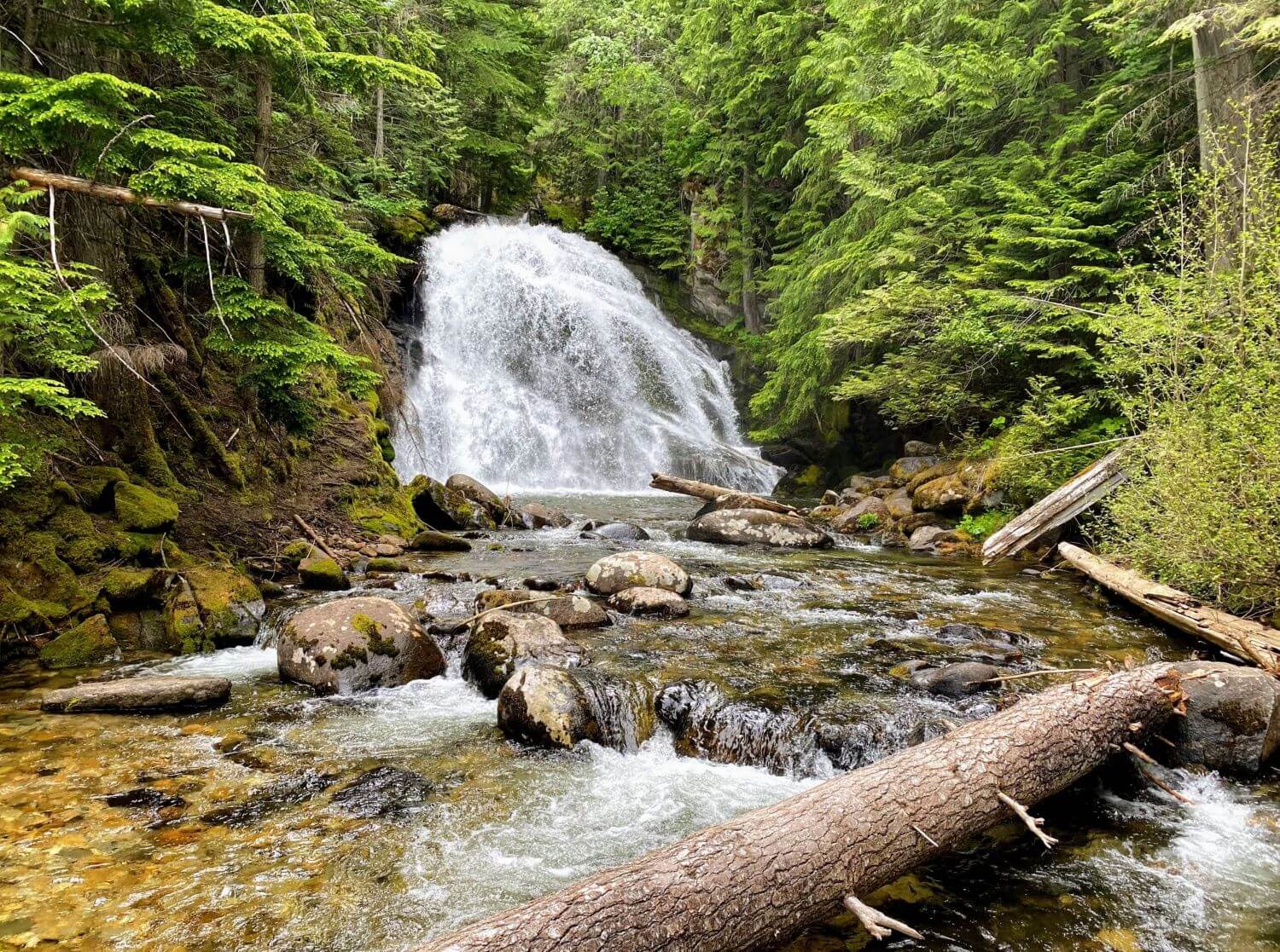
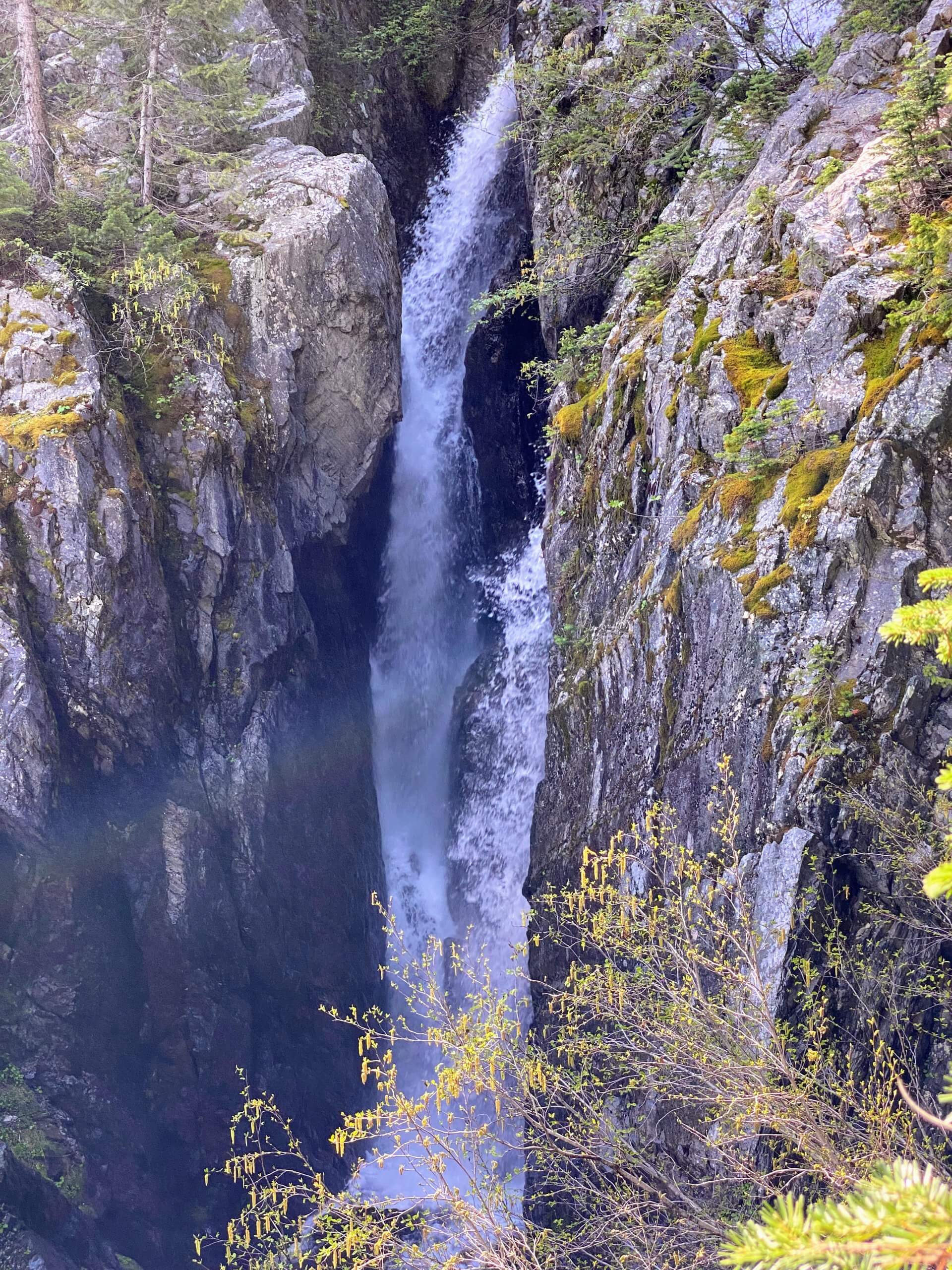
The hike to Lower Stevens Lake in the Bitterroot Mountains near the Montana border is a magnificent, 4.2-mile out and back with 1,650 feet of elevation gain. Tack on an additional half a mile if you want to visit the upper lake. The area has long been a training location for aspiring mountaineers to sharpen their skills by ascending Stevens Peak in spring snow conditions. Once the trail melts out in late spring, however, Lower Stevens becomes a popular overnight backpacking destination. With a set of waterfalls, a good bit of exercise, and spectacular scenery, it also makes for a classic day hike.

Getting there: From Wallace, take I-90 to East Mullan exit 69. Turn left from the off-ramp, then take the next right onto Friday Ave. After 0.8 mile bear slightly right onto Willow Creek Road. Continue over I-90 on an overpass, after which the road turns to dirt, and proceed 1.7 miles to the trailhead parking on the left.
Follow the marked trail 165 as it begins along an old mining road, which immediately starts climbing in earnest amongst a mixed-age forest of cedar, fir, and alder. If not seen, Willow Creek will almost assuredly be heard off to the right of the path. Sharp eyes can spy Willow Creek Falls through the trees here. The trail stays with the east fork of the creek before arriving at and climbing around a talus slope. Huckleberry and an impressive array of wildflowers, including diminutive but showy fairy slippers can be found in this section of the forest.
As the ascent continues, the views begin to open up. Soon after peaks and ridgelines come into view, so does Lower Stevens Lakes Falls, which you will get up close and personal with soon in the form of a creek crossing. Depending on water flow, this can be done via rock hop or downed logs. The trail then navigates through a very large scree slope, re-enters the forest, and switchbacks up to a view of the large, plunging Upper Stevens Lakes Falls. Depending on your risk tolerance, a footpath leads down to better views, but exercise caution. Then take a final set of switchbacks followed by a leisurely final stretch to the shore of Lower Stevens Lake. An excellent lunch spot and turnaround point. For those interested, however, the trail to Upper Stevens Lake continues along the west side of the lower lake.
